Resilio Studio
Design for Resilience
Facebook
Instagram
About
Philosophy + Practice
Who we are
Projects
Media
Contact
All Projects
Landscape + Urbanism
Social Innovation
Placemaking + Tactical Urbanism
Education
All Projects
Landscape + Urbanism
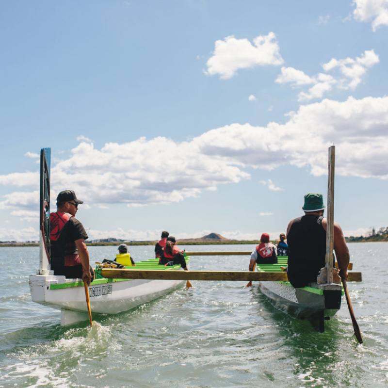
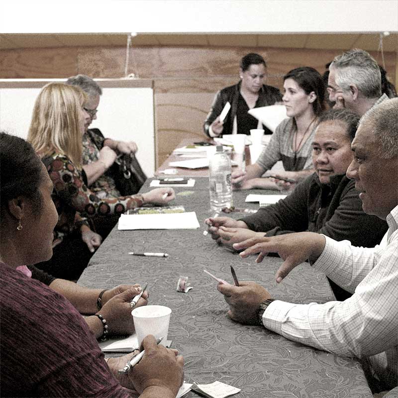
Te Whakaoranga o te Puhinui: Puhinui Regeneration
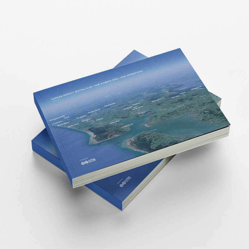
Kaipara District Spatial Plan – Ngā Wawata 2050
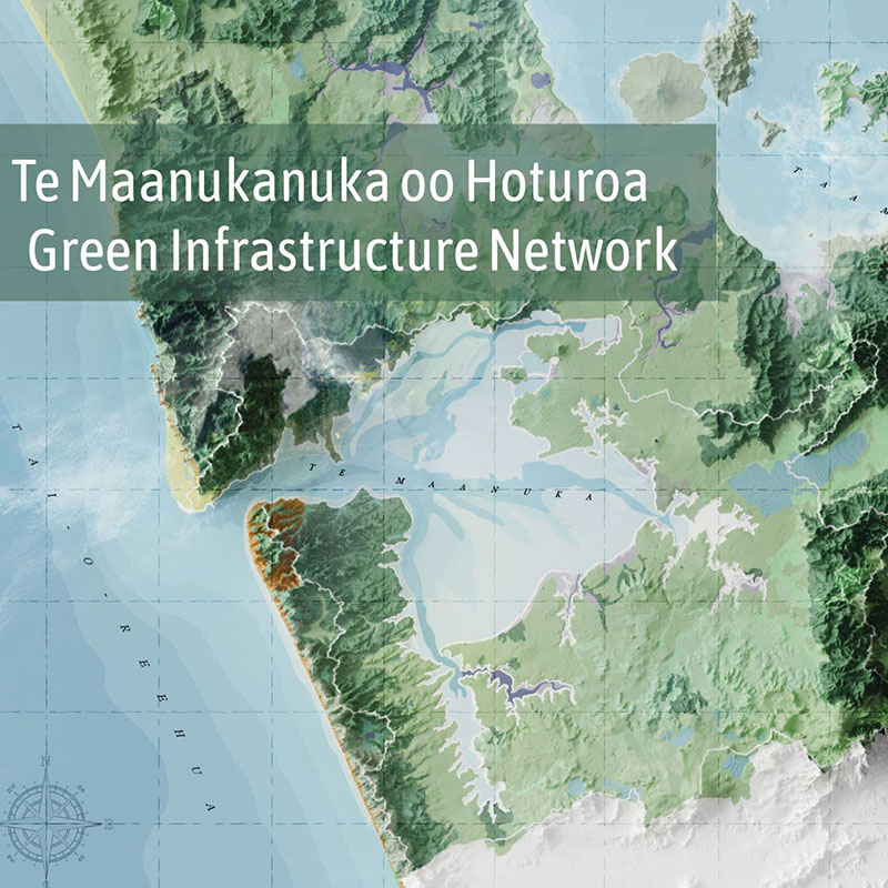
Te Maanukanuka oo Hoturoa – Green Infrastructure Network
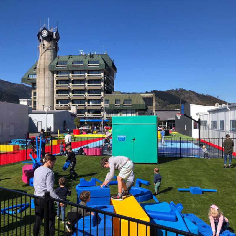
Nelson Riverside Pop-Up Park
Taniwha Reserve
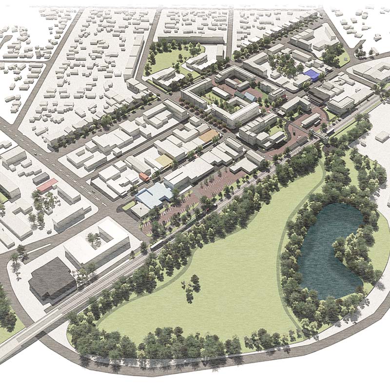
Ōtorohanga Town Concept Plan
Safe School Streets
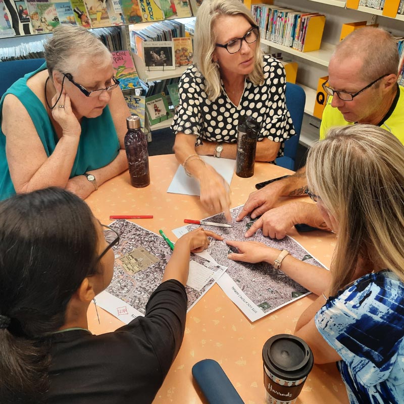
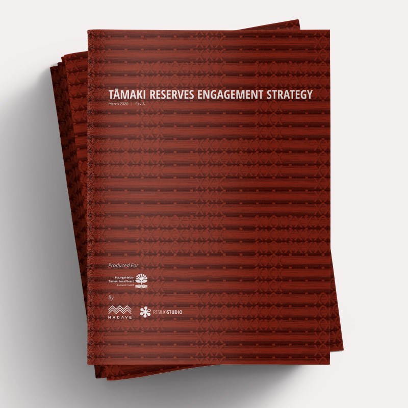
Tāmaki Reserves Engagement Strategy
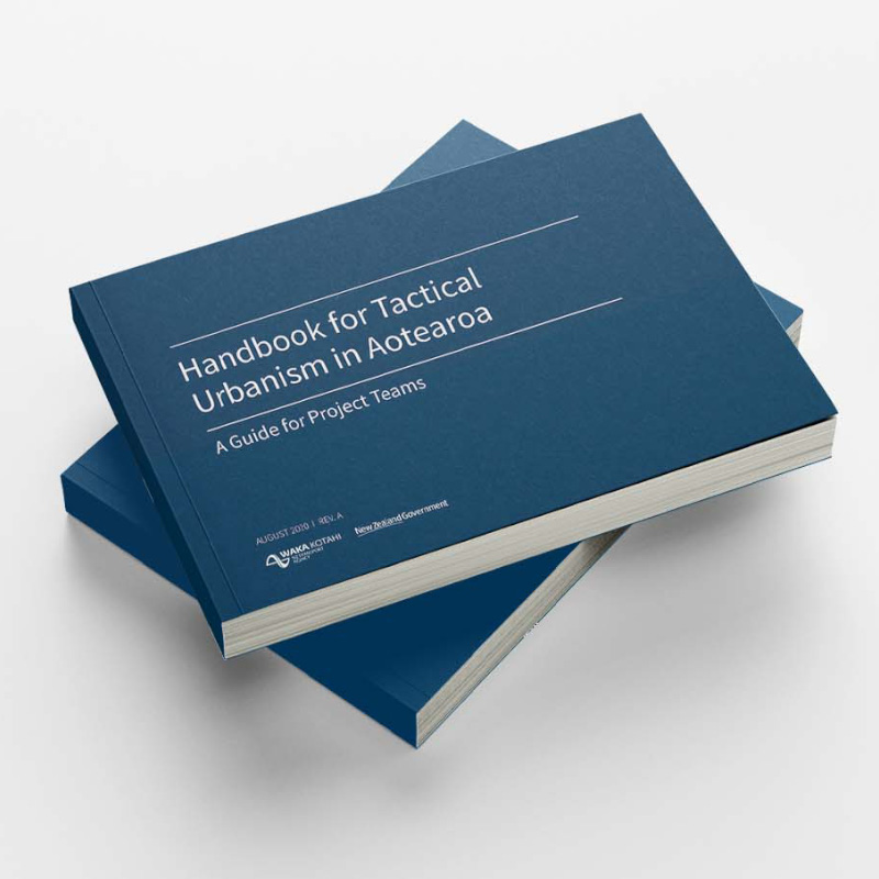
Handbook for Tactical Urbanism in Aotearoa
Auckland Transport Green Infrastructure Framework
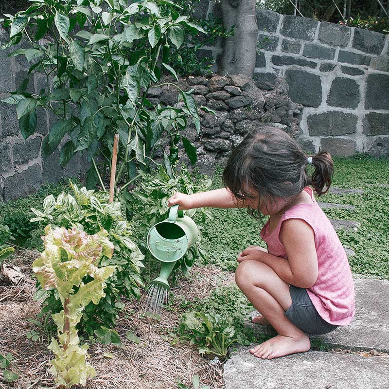
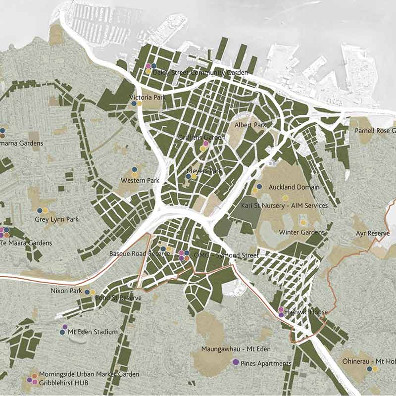
Productive Gardens + Landscapes
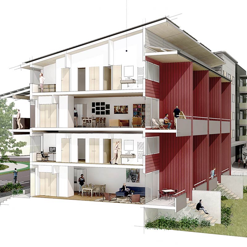
Smiths Avenue
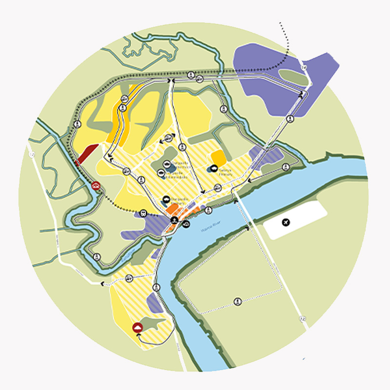
Kaipara Key Urban Areas
Local Path Design Guide
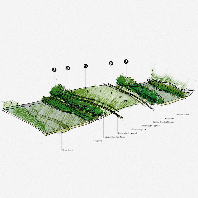
Meola Reef Reserve Te Tokaroa Development Plan
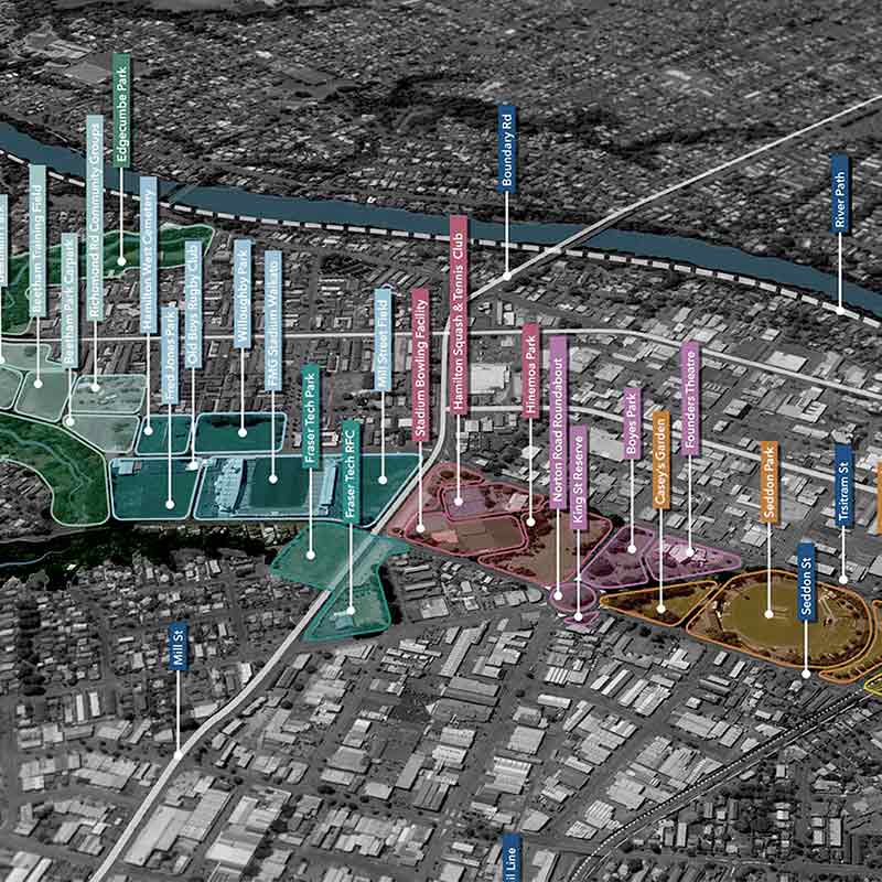
Hamilton West Town Belt
Greenway Network Plans
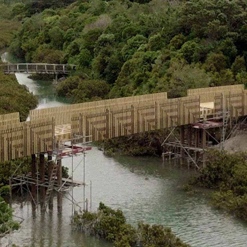
Omaru Creek Bridge
Rodney Greenways Feasibility Studies
Keri Downs Park + Carisbrook Reserve
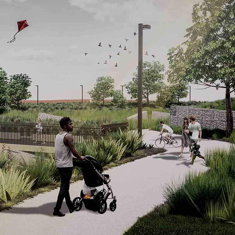
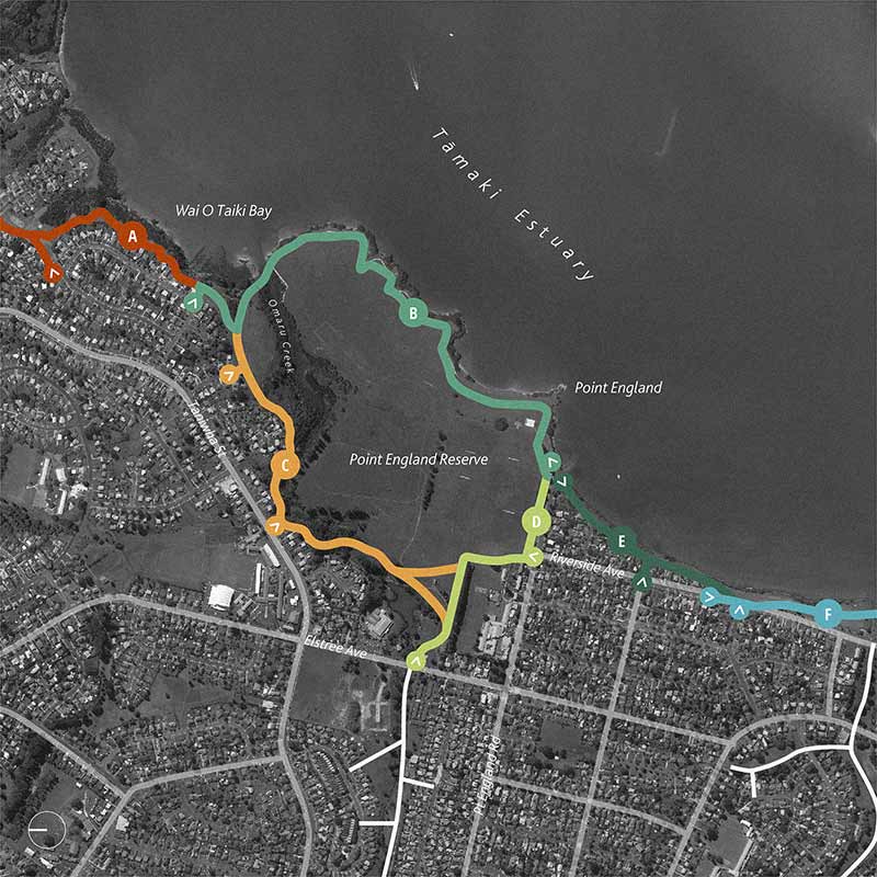
The Tāmaki Path
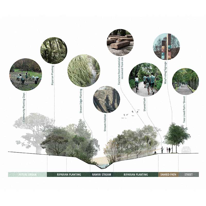
Rawiri Stream Restoration
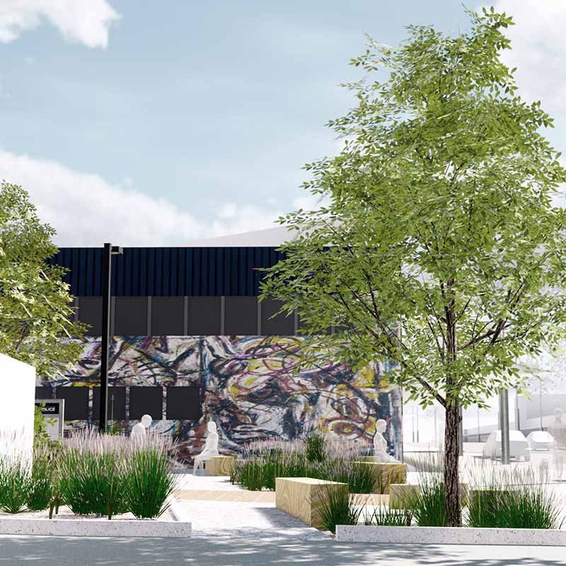
Onehunga Police Station Laneway
Te Kōpua – C40 Design Competition
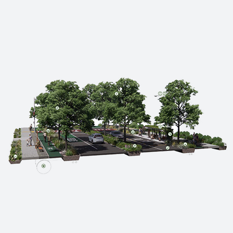
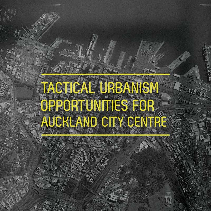
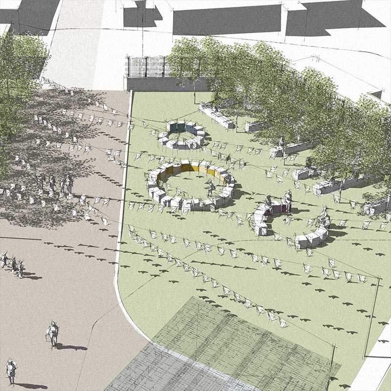
Tactical Urbanism Opportunities for Auckland City Centre
Huapai Hub
Social Innovation
Te Whakaoranga o te Puhinui: Puhinui Regeneration
Safe School Streets
Tāmaki Reserves Engagement Strategy
Auckland Transport Green Infrastructure Framework
Smiths Avenue
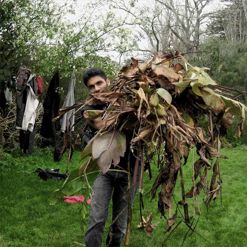
Waitematā Community Composting
Auckland Permaculture Workshop
Local Path Design Guide
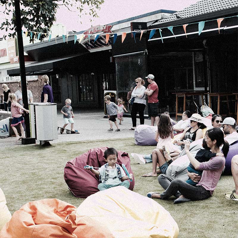
Pt. Chevalier Placemaking
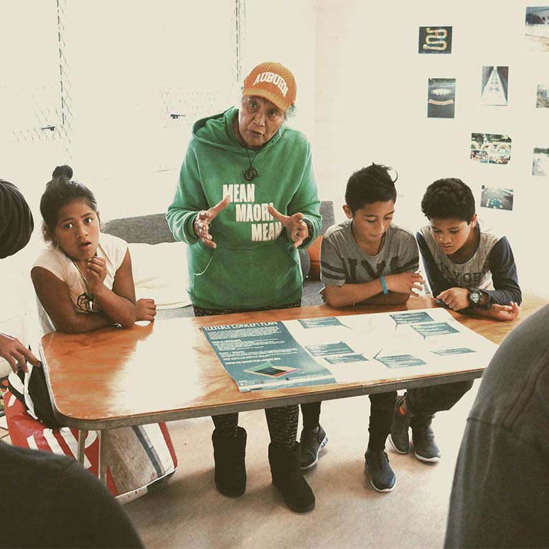
AUT Design Studios
Te Kōpua – C40 Design Competition
Healthy Families Lab
Tactical Urbanism Opportunities for Auckland City Centre
Huapai Hub
Placemaking + Adaptive Urbanism
Safe School Streets
Tāmaki Reserves Engagement Strategy
Handbook for Tactical Urbanism in Aotearoa
Pt. Chevalier Placemaking
Tactical Urbanism Opportunities for Auckland City Centre
Education
Auckland Permaculture Workshop
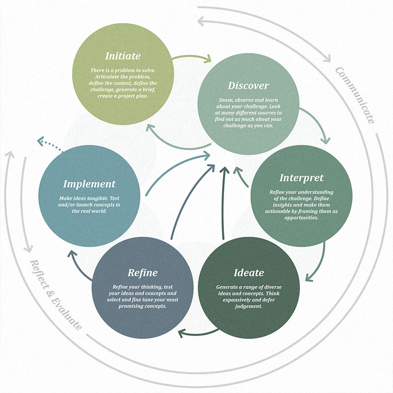
The Design Process: A Primer
AUT Design Studios
Te Kōpua – C40 Design Competition
Healthy Families Lab
Projects
Te Whakaoranga o te Puhinui: Puhinui Regeneration
Kaipara District Spatial Plan – Ngā Wawata 2050
Te Maanukanuka oo Hoturoa – Green Infrastructure Network
Nelson Riverside Pop-Up Park
Taniwha Reserve
Ōtorohanga Town Concept Plan
Safe School Streets
Tāmaki Reserves Engagement Strategy
Handbook for Tactical Urbanism in Aotearoa
Auckland Transport Green Infrastructure Framework
Productive Gardens + Landscapes
Smiths Avenue
Waitematā Community Composting
Kaipara Key Urban Areas
Auckland Permaculture Workshop
Local Path Design Guide
Pt. Chevalier Placemaking
Meola Reef Reserve Te Tokaroa Development Plan
Hamilton West Town Belt
Greenway Network Plans
Omaru Creek Bridge
Rodney Greenways Feasibility Studies
Keri Downs Park + Carisbrook Reserve
The Tāmaki Path
Rawiri Stream Restoration
Onehunga Police Station Laneway
The Design Process: A Primer
AUT Design Studios
Te Kōpua – C40 Design Competition
Healthy Families Lab
Tactical Urbanism Opportunities for Auckland City Centre
Huapai Hub